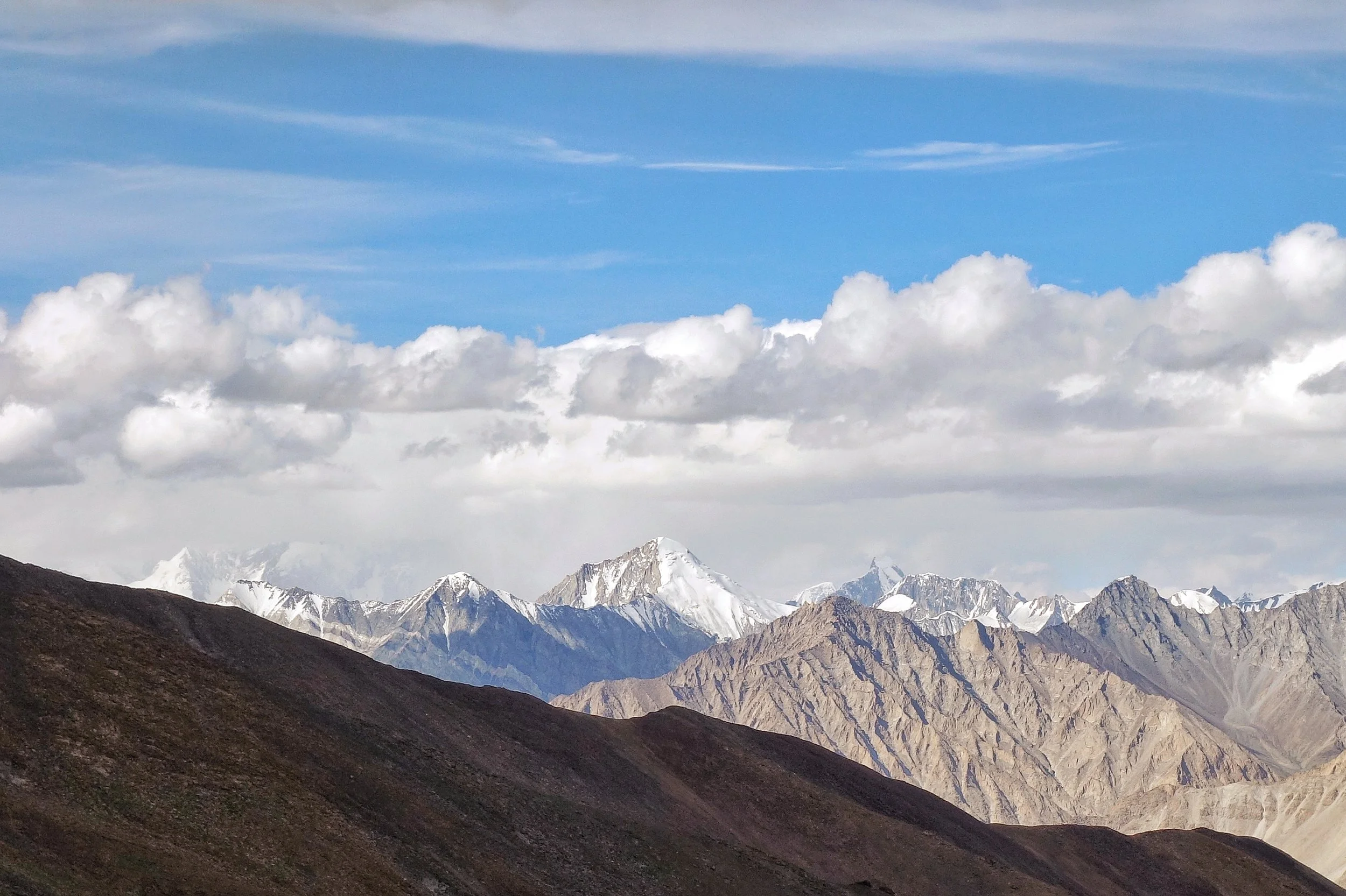
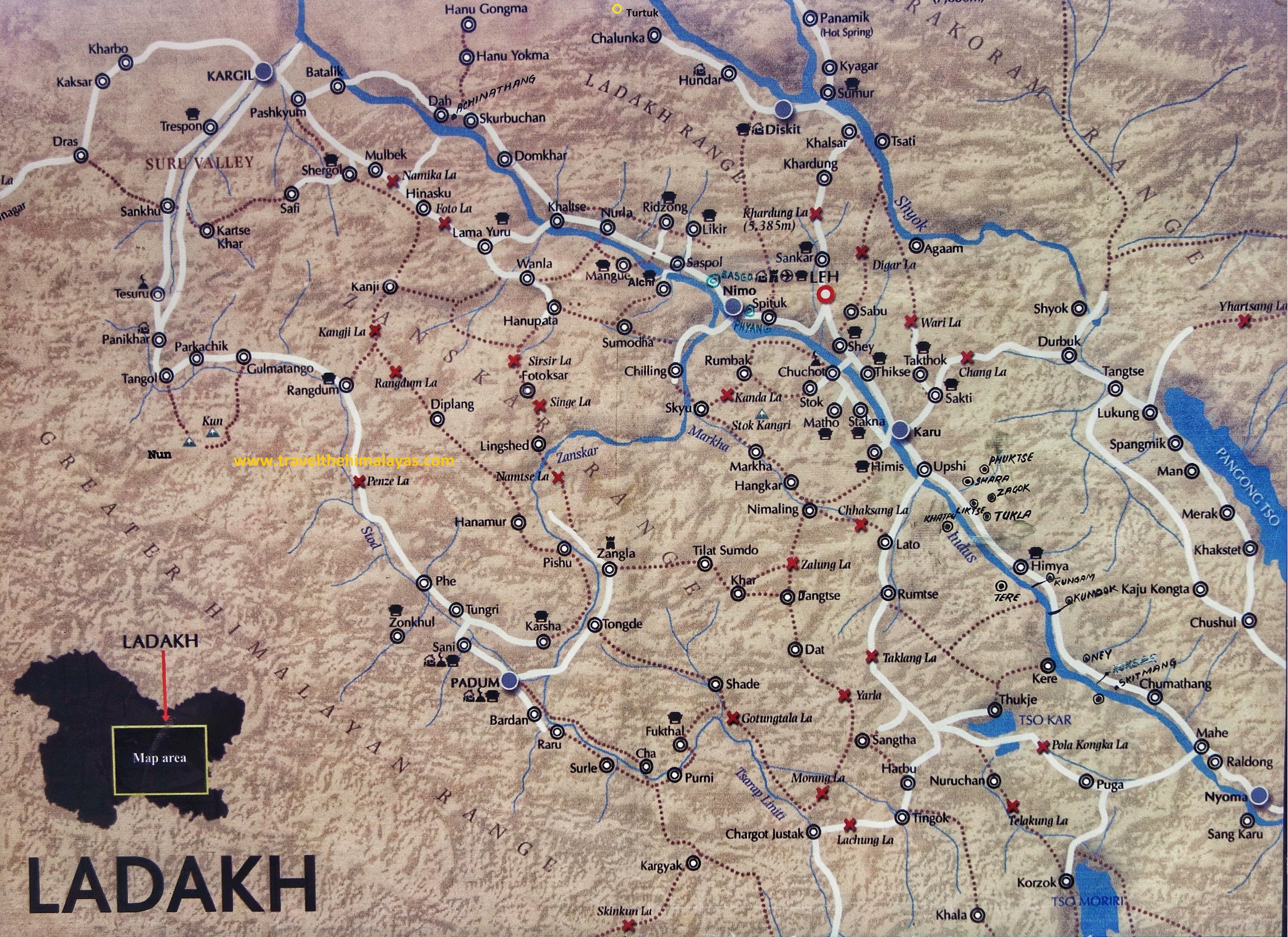
The Mountain Geography of Ladakh makes for interesting reading situated as it is between the Great Himalayan Range and the Karakoram Range. Also running within Ladakh are the Ladakh Range and the Zanskar Range but most people do not have a clear idea as to which Pass co-relates to which Pass.
The Illustrated Mountain Geography of Ladakh
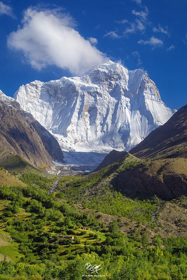
The mighty Nun Peak of the Great Himalayan Range at 7135 m its the highest Himalayan Peak in Jammu ans Kashmir (not including the areas under occupation). On the side is the Saddle Peak.