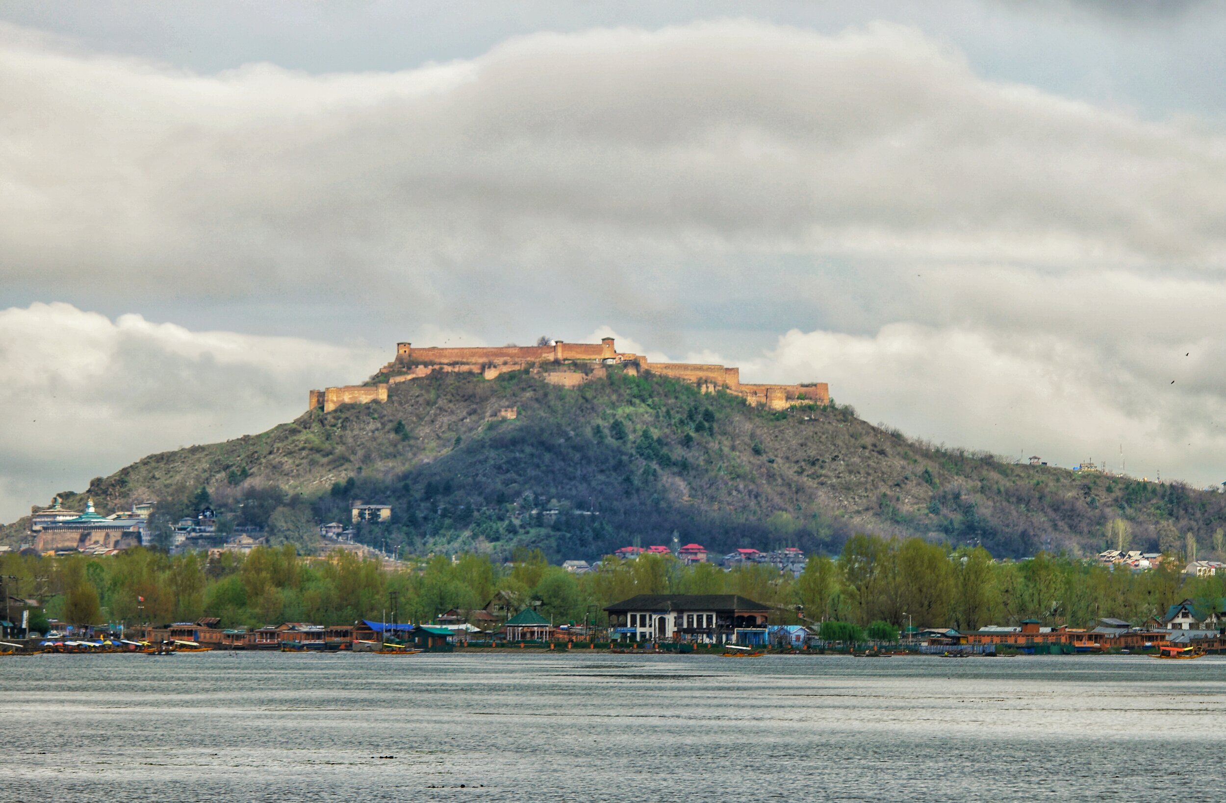
And one of the most famous Pass over the Range was called the Pir Panjal Pass and as per some versions of History the entire Range got its name from the name of the said Pass. The word Panjal probably came from the word Panchal. This Pass connects the Kashmir Valley with the Poonch Region of Jammu and thereon to the Northern Plains of India. This was the Pass used by the Mughals on what is now called the Mughal Road on their forays into Kashmir. Nowadays mostly the Pass is called the Pir ki Gali which is a reference to a Pir or Holy Man buried somewhere near the Pass.
One of the Most Dangerous Mountain Roads in the World
The Road which connects Killar in Pangi Valley in the Chamba District of Himachal Pradesh to Gulabgarh in the Padar Valley of Kistwar District is often reffered to as the Most Dangerous Road in the World. The Road runs along the Chenab / Chandrabhaga River’s Gorge.
The most dangerous section of the Road is between Tyari and Ishtyari in the Padar Tehsil of the Kishtwar District of the Jammu Division of the Union Territory of Jammu and Kashmir. The Cliffhanger section is cut through a solid Rock face and the River runs thousands of feet below the Road with a sheer fall. An alternative to this Cliffhanger is being built and once that is complete the Cliffhanger will be closed.
Wazir Lakhpat Rai Padari of Padar, Kishtwar
Well it starts with the Raja of Kishtwar called, very interestingly, Raja Mohammed Teg Singh also known as Saifullah Khan. Though the Rajas of Kishtwar had converted to Islam they kept a mix of Muslim Hindu names and followed many Hindu costums and this Raja was no different. He was a vassal of the Afhna Governor of Kashmir who fell out with the Rulers in Kabul. A force was sent to Kashmir from Kabul but the Governor stood up to it and was assisted in the same by forces from Kishtwar. And by this time Raja Mohammed Tegh Singh had got into a service a new Minister called Wazir Lakhpat Rai Padari, who as the name suggests was from Padar.
The Bridges of Srinagar by Francis Firth
Srinagar City as most must be aware is settled on both Banks of the Jehlum and as such there were a number of Bridges which were put across the Jehlum originally starting with the First Bridge or Amira Kadal which was my favourite as it was closes to Home and we had a Shop there where I used to walk to often as a kid. Of course then the Zero Bridge was built which was without doubt everyone's favorite because of Little Hut. The Sardarji's shop which sold the best Softy in Kashmir.
Gold Prospecting in the Riyasat e Jammu and Kashmir 1890
The Gazetteer of Kashmir and Ladakh of 1890 is a treasure trove of information regarding various aspects in the state. This is the small little Chapter in the Gazetteer which talks of Gold prospecting in the Riyasat. And of course it talks of some Gold mining in Baltistan.
The Indus Ganges Divide
The Indus and the Ganges are the two great Rivers which originate in the Himalayas/ Trans-Himalayas and all the Rivers of the Western and Central Himalayas drain into either of these two Rivers. The Indo - Gangetic Plain as the combined basin of these two Rivers is called sustains well over a Billion people and is one of the most thickly populated Regions on the Planet. The story of the Indus and the Ganga is the story of India in historical, social and religious contexts.
Kashmir : Do’s and Donts from 1902
In 1902, the Foreign Department of the British Government in India issued a Guide for foreign visitors to the territories of the Maharajah of Jammu and Kashmir and especially to the Kashmir Valley. It was called Kashmir Visitor Rules : Rules and Regulations for Observance by Visitors and Residents in the Territories of H H The Maharaja of Jammu and Kashmir
The Great Game on the Roof of the World
There have been many Western Explorers who went on different assignments in these Mountains but one of the key reasons was always to find out more about the Politics and the Geography of the regions which were not under the Control of the Empire. The frontiers of the Punjab Empire of Maharaja Ranjit Singh were a key target as they bordered the wilds of Afghanistan as it slowly gave way to Central Asia. Also of great interest to them were the Routes that were traditionally taken from Kashmir via Ladakh into Central Asia.
Of Mountains and Rivers
One of the most interesting thing about the Himalayas is how the Rivers interact with the Range and how the River Basins work. Since none of us is taught this in school in the Geography class the way one can study this fascinating aspect is to study Maps. Not the Maps of the new but the old Maps made by the Geological Surveys and the Royal Geographic Society Maps. The kind of detailing in these Maps is amazing when we keep in mind the fact that it was all done by boots on the Ground. No Aerial or Satellite Cartography.
The Last Anglo Abor War 1911
The Anglo Abor War was a series of events which took place in 1911 between the British and the Abor Tribesmen in what is today Arunachal Pradesh. The British were keen to explore and Map out the almost impenetrable Jungles that the Siang River cut through in the Eastern Himalayas. And of course this put them on a collision course with the local Tribal communities who saw them as invaders and outsiders.
The Nandana Fortress of the Salt Range
The Arab Traveler Al-Beruni in his writings on India, mentions a place where he stayed and it was a great center of learning. It was called Nandana and it was a Hill Fortress on the eastern most escrapement of the Salt Range. The Salt Range is some senses is the youngest Range of the Himalayan Complex and lies between the Jhelum and the Indus in Northern Punjab and includes the Potohar Plateau. This low Mountain Range is called so because of the great Salt deposits that are found in this Range and it is famous for. As such the Fortress was located on a strategic location overlooking what was called the Nandana Pass.
The Making of the Brahmaputra
The Brahmaputra is one of the great Rivers of the World and its named after the Hindu God Brahma. The Son of Brahma actually. The River originates close to the Mansrover Lake and makes it’s journey across the Tibetan Plateau and then it turns around the Himalayas and finally arrives on the plains of Assam. Its course from the Tibetan Plateau to the plains of Assam was for years an endearing mystery.
Video of Duke of Abruzzi’s Karakoram Expedition of 1909
An extremely rare Video of the Duke of Abruzzi’s Karakoram Expedition of 1909.
Pangi to Zanskar
The Ancient Routes which connected Pangi Valley in Chamba with Zanskar in Ladakh : Excerpts from Guide to Dalhousie Chamba and the Inner Mountains Between Shimla and Kashmir (1923)
The Stilwell Road
The Stilwell Road Project once termed as an “impossible Engineering pipe dream” was not merely an Engineering feat accomplished but a saga of Valour, Grit and Determination. It stands as a testament to the Men responsible and the indomitable human spirit that made it possible.” This is the inscription at the Jairampura Cemetery, the largest Cemetery dating back to the Second World War and at the cemetery lie the remains of hundreds of Men who gave up their lives during the building of this Road. Amongst the dead were Indians including many local Tribals, Chinese, Americans and Burmese.
Nampong - Hell’s Gate on the Stillwell Road
Nampong was the last town on the Indian side on the Stilwell or the Ledo Road as it was called. It was around 13 kms before the infamous Pangsau Pass which was also called the Hell’s Pass and Nampong was considered the gateway to Hell's Pass and hence the name Hell’s Gate. This was when the Road started a climb to get over the Pansau Pas which was at almost 1200 m and Nampong was at about 300 m.
The Forgotten Jairampur Cemetery
The Forgotten Jairampur Cemetery on the Stillwell Road near the border of Arunachal with Burma. The largest WWII Cemetery in India which was lost to the jungle but re-discovered in 1997.
The Nun Barashigri Glacial Region
The Nun Barashigri Glacial Region is one of the largest Glacial Zones in the Himalayas and it lies in the Western part of the Himalayas. IT largely falls into the Chenab Basin but some flow from the Glacial Region goes to the Indus as well as the Ravi as well.
Historical Map of the Dogra Kingdom of Jammu and Kashmir
The State of Jammu and Kashmir as it was at its largest extent under the rule of the Dogras. This Map helps people understand the complicated Geography and Diversity of the erstwhile State of Jammu and Kashmir.
Pahadi Wilson : The English Raja of Harsil
Once upon a time there was an Englishman, called Pahadi Wilson who had crowned himself the Raja of Harsil so much so that he even issued his own currency, his own coin, for use in his own domain. Frederick E Wilson was his real name and his escapades could probably fill in a couple of Volumes. He was a Spy for the British Government and reportedly even had an affair with a Rani Sahib of Tehri it is said. And it is said that a curse was cast upon him and his coming generations by none other that Lord Shiva himself. Even the legendary Rudyard Kipling, who was a friend of his, described him as such, “lived a life that would have been the envy of kings”.


